 다운로드 TOP50
 PC 카테고리
 자유게시판
자유게시판

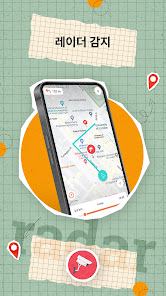
AOS
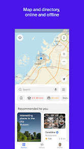
지도/내비게이션

152,211
자세히보기
![]()

공지사항
- 소프트쉐어 신규 소프트웨어 추가 안내 2025.01.17
- 소프트쉐어 서비스 이용 가이드 업데이트 안내 2025.01.17
- 소프트쉐어 웹사이트 리뉴얼 안내 2025.01.17


 알 수 없음
 알 수 없음
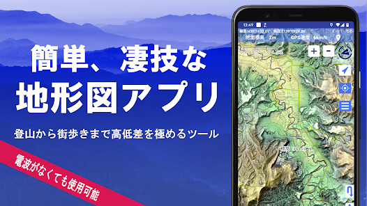
AOS
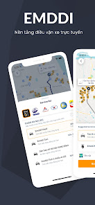
지도/내비게이션
152,211
자세히보기
![]()
브랜드 소프트쉐어
대표 김동영
사업자번호 428-81-02729
통신판매업신고번호 2023-부산해운대-0096호
개인정보책임자 김동영
주소 : 부산광역시 해운대구 센텀중앙로 78, 센텀그린타워 504호
Copyright SoftShare Crop. All Rights Reserved.