


 다운로드 TOP50
 PC 카테고리
 자유게시판
자유게시판
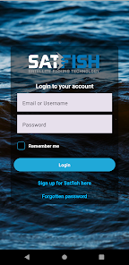
SatFish Offshore Fishing App
 다운로드수 43
-
0 (0명)


| 분류 | 지도/내비게이션 |
|---|---|
| 버전 | 1.9.116 |
| 연령 | 3세 이상 |
| 업데이트 | 2020. 9. 3. |
| 금주 다운수 | 0 |
| 누적 다운수 | 43 |
| 개발사 | BDOutdoors |
| 다운로드 | |
|
!소프트웨어 사용범위 위반 시
법적 책임을 질 수 있습니다. |
|


상세정보
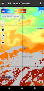
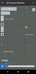
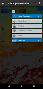
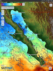
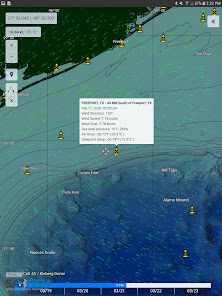
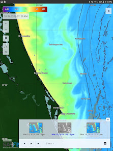
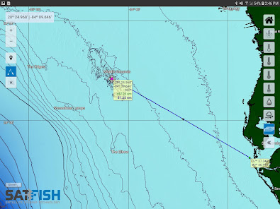
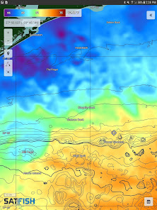
SatFish combines highdef satellite images and maps with advanced planning tools to make it easy to find the most productive offshore fishing grounds With the latest sea surface temperature SST chlorophyll charts satellite imagery wind forecasts and more SatFish points you straight to the bite zone instead of wasting time and fuel searching through empty lifeless water
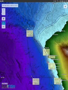
The SatFish mobile app allows you to bring the power of SatFish39s online fishing maps with you out on the water keeping SatFish39s advanced map layers and planning tools right at the helm of your boat The mobile app automatically saves the latest maps and layers you view while online so even when you39re offshore and out of wifi range you can follow your position on our maps and know exactly which way to point your boat to stay in the hot bite zone
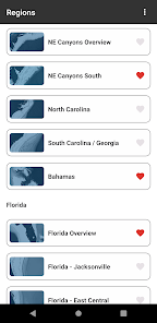
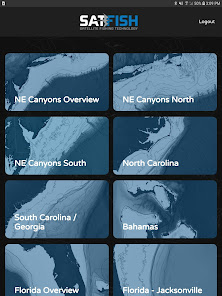
Please visit wwwsatfishcom for a list of maps layers we offer and regions we cover
REQUIREMENTS Active SatFishcom membership subscription wifi or cellular internet connection for retrieving charts GPSenabled device for displaying your position on the maps
리뷰
- 소프트쉐어 신규 소프트웨어 추가 안내 2025.01.17
- 소프트쉐어 서비스 이용 가이드 업데이트 안내 2025.01.17
- 소프트쉐어 웹사이트 리뉴얼 안내 2025.01.17


